There is this saying that over 80% of all data is spatially referenced. It shows that spatial technologies are important for data-driven insight generation. But I like to take a different approach. What percentage of real-world objects (including people) is digitally referenced? Or in other words: for how many objects and people do we know the current and past locations, in digital records, on a computer?
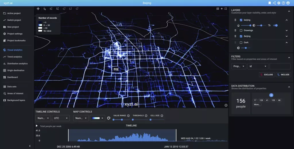
This is a difficult question to answer, but the amount is in the billions, if not trillions. What we can also say is that this amount is increasing. We are tracking increasingly more objects: cars, planes, vessels, but also containers, fork lifts, building equipment, mining trucks. And people. People waiting in line in an airport, people working on a construction site, people entering and exiting a grocery store,…
And then there is autonomous: autonomous drones, autonomous vessels, autonomous cars,… This innovation is further driving the need to track objects and analyze their movements. Technologies such as GPS, Bluetooth Low Energy (BLE), UWB, Cellular Triangulation, Computer Vision, etc. are used to pinpoint all these assets in space and time.
This digital location information is what our platform deals with. To help our customers create a more efficient and safe business.
A common denominator in this location data is the fact that the data is spatially and temporally referenced (using coordinates x,y,z and time stamps t). Hence our name xyzt.ai.
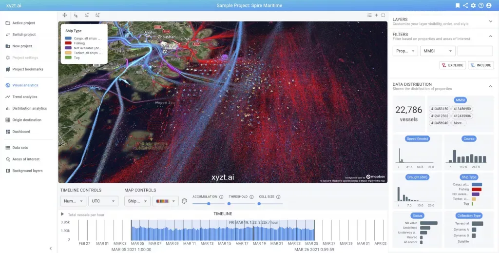
But what with other data attributes? Take the example of Maritime AIS data. This is data that vessels communicate to report their position, but also their status and activity. A typical AIS record has dozens of attributes, such as:
- MMSI
- Longitude
- Latitude
- Timestamp
- Speed over Ground
- Course over Ground
- Vessel Name
- Vessel Type
- IMO
- Callsign
- Status
- Length
- Width
- Draft
- Cargo
- …
But then take car tracking data, this data is vastly different, and for example contains attributes such as Street, Acceleration, Velocity, Tire Pressure, Odometer, Section ID,… etc. etc.
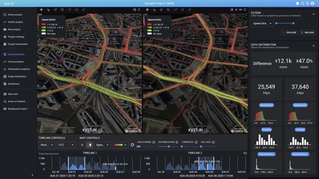
Some of these attributes can be any number or text, others are part of an enumeration,…
Being a no-code platform, we are dealing with all these different data sources in an automated way: our platform automatically detects the attributes and builds an on-the-fly representation and uses this to automatically build data-driven insights and dashboards.
This means we can deal with any location data, being it originating from a car data services platform, a maritime AIS data provider, Bluetooth location tracking technology, or any other space-time location technology.
This also means we can take your data live in a matter of minutes, no coding required, no development required.
And as a bonus, our platform, does not bulge under large amounts of data. It scales to billions of records, while maintaining interactivity during data exploration, analysis, and visualization.
Are you dealing with tracking or IoT data that is spatially referenced? Are you looking for an easy platform to visually analyze your data? Get in touch, we can help.
Bart
