
In a recent presentation, Bart Adams, CTO of xyzt.ai, explored how AI is transforming the way we analyze mobility data. His talk focused on xyzt.ai’s spatiotemporal intelligence platform and its integration of natural language querying to simplify complex traffic and maritime analytics.
Traditionally, geospatial data analysis requires expert knowledge, technical skills, and time-consuming manual filtering. But with xyzt.ai’s platform, powered by fine-tuned large language models (LLMs), users can now ask questions in natural language and receive immediate, structured insights.
Real-World Applications
Bart showcased several real-world use cases that illustrate the power and flexibility of the platform:
- Traffic Impact Monitoring: After highway closures in Germany, authorities used the platform to analyze diversion patterns and mitigate congestion in surrounding towns.
- Maritime Route Analysis: By querying AIS (Automatic Identification System) data, users can track vessel movements between ports and filter by vessel type.
- Urban Traffic Optimization: Analysts identify and act on inefficient or unnecessary traffic passing through sensitive areas like city centers.
Key Takeaways
1. Effortless Spatiotemporal Analysis
Natural language input replaces complex manual filtering. AI-generated filters make the platform accessible to both technical and non-technical users.
2. Smarter Decision-Making for Planners
Government agencies and urban planners use the tool to design better detours, monitor bottlenecks, and improve maritime logistics.
3. Faster and More Collaborative Insights
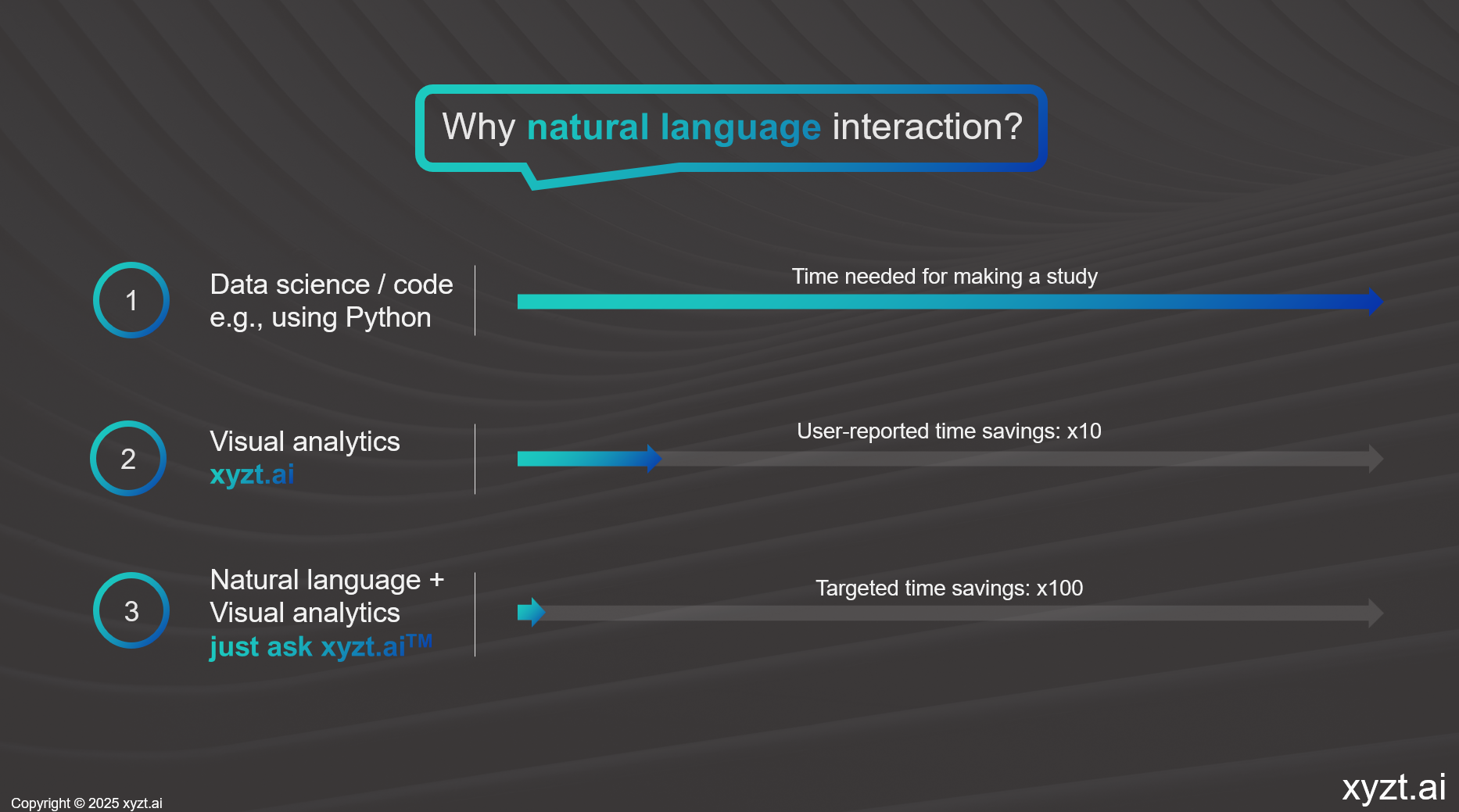
AI-assisted queries cut analysis time by a factor of 10. Teams can review and adapt each other’s filters to improve transparency and collaboration.
4. Multilingual and Context-Aware AI
The platform supports multiple languages and incorporates real-world understanding—like mapping user terms such as “cargo ship” to database codes automatically.
5. Toward a Standard AI Query Language for Geospatial Data
Bart closed by envisioning a future where geospatial analytics adopts a shared AI-driven query standard—similar to SQL or Python in data science—making querying seamless across tools and domains.
AI is no longer a futuristic add-on in geospatial analytics. It’s already transforming how organizations understand and act on mobility data faster, easier, and more intuitively than ever before.
Interested in trying it yourself? Request a demo
You might also like:
The Traffic Data Treasure Most Cities Overlook
The Panama Canal After the Recovery: Navigating a New Era of Maritime Volatility